Geophysical instruments and data processing
Section outline
-
 in person
 National Research Council, Institute of Methodologies for Environmental Analysis, Contrada Loya, 85050 Tito Scalo (PZ)
9 June 2025, from 11:00 to 18:00
10 June 2025, from 09:00 to 18:00
11 June 2025, from 09:00 to 18:00
12 June 2025, from 09:00 to 18:00
 25 (in person)
 Maurizio Porcu, Gianfranco Morelli, Stefano Del Ghianda, Luigi Vignola, Frantisek Stanek, Mauricio Cogorno
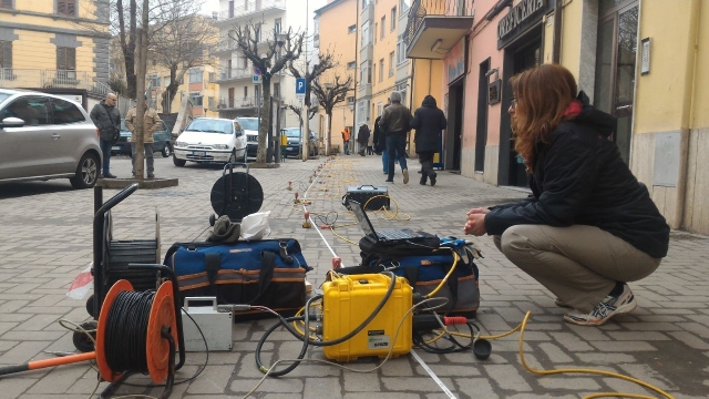
The course is held at the WP7 pilot sites in the Friuli Venezia Giulia and Basilicata regions. It includes an introduction to near-surface geophysics, a presentation of the geophysical-airborne approach for near-surface, land surface monitoring, and natural risk mitigation, a description of the instrumentation, elements of data processing, field activities, and a demonstration of data analysis.
Learn the main survey and monitoring cutting-edge techniques to be employed for near-surface applications and natural risks.
-
The lectures on four topics will alternate with practical exercises and comparisons of tools:
Module 1: Focus on high-resolution, 3-dimensional, subsurface mapping thanks to the use of step-frequency radar technology. Theoretical grounds, acquisition techniques, and data pre-processing, processing and post-processing with specific reference to GPR Technology developed by Kontur.
Module 2: The state-of-the-art of 3D ERT 3D, the new Syscal Terra, and the Multi-Tx and Multi-Syscal approach. Data management using ERTLab Studio software.
Module 3: Execution of seismic surveys using ESAC seismic antenna, acquisitions with 2D arrays using passive technique, use of “Lunitek” sensors model “Sentinel GEO MKII,” and data processing using open-source software (Geopsy).
Module 4: Theoretical grounds of fiber optics in DAS, acquisition techniques, and data pre-processing, processing, and post-processing with specific reference to iDAS technologies.
-
Focus on high-resolution, 3-dimensional, subsurface mapping thanks to the use of step-frequency radar technology. Theoretical grounds, acquisition techniques, and data pre-processing, processing and post-processing with specific reference to GPR Technology developed by Kontur.
-
Module 1 File PDF
-
-
The state-of-the-art of 3D ERT 3D, the new Syscal Terra, and the Multi-Tx and Multi-Syscal approach. Data management using ERTLab Studio software.
-
Module 2 File PDF
-
-
Execution of seismic surveys using ESAC seismic antenna, acquisitions with 2D arrays using passive technique, use of “Lunitek” sensors model “Sentinel GEO MKII,” and data processing using open-source software (Geopsy).
-
Module 3 File PDF
-
-
Theoretical grounds of fiber optics in DAS, acquisition techniques, and data pre-processing, processing, and post-processing with specific reference to iDAS technologies.
-
Module 4 File PDF
-