Advanced technologies for monitoring and prediction of ground instabilities
Section outline
-
 in-person
 Department of Earth Sciences, University of Pisa, Via Santa Maria, 53, 56126 Pisa PI
 09 December 2024
10 December 2024
11 December 2024
12 December 2024
 20 (in person)
 Tommaso Beni (University of Florence), Tommaso Carlà (University of Florence), Pierluigi Confuorto (University of Florence), Matteo Del Soldato (University of Florence), Giovanni Gigli (University of Florence), Emanuele Intrieri (University of Florence), Federico Raspini (University of Florence), Samuele Segoni (University of Florence), Veronica Tofani (University of Florence)
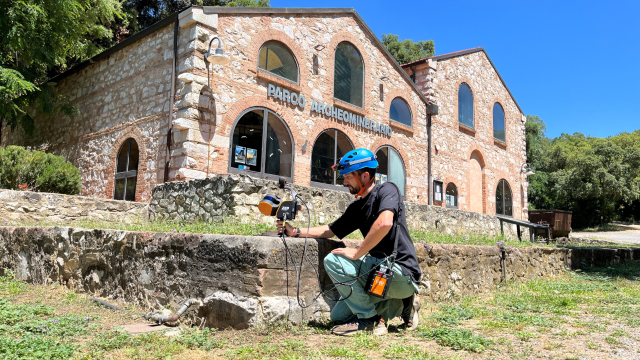
Introduction to the different landslide types and to the main characterization and numerical modelling methods of the triggering and runout mechanisms. Theoretical principles, data acquisition methodologies and application examples of the main surveying and monitoring technologies for ground displacements. Landslide Early Warning Systems on a local and regional scale, with particular reference to their temporal and spatial forecasting concerns.
Learn the main survey and monitoring techniques to be employed for different ground deformation types, with special aim to the quick definition of risk scenarios in emergency situations and early warning systems.
-
- Geohazards and hydrogeological risk: landslides
- Traditional and advanced systems for landslide surveying and monitoring
- Satellite radar interferometry
- Landslide forecasting and warning at slope scale using displacement monitoring
-
Geohazards and hydrogeological risk; landslides: features and geometry, type of movement, materials, water content, velocity, classifications, causes and effects, mitigation measures and case studies; stability analyses and numerical modelling of the triggering and runout mechanisms
-
Traditional and advanced systems for landslide surveying and monitoring: Lidar, ground-based radar interferometry, Doppler radar, muon radiography: theory and applications.
-
Satellite radar interferometry: acquisition, processing, analysis and interpretation of monitoring data. Large-scale (regional) and local (single building) scale satellite radar data analysis: theory and applications
-
Landslide forecasting and warning at slope scale using displacement monitoring: definitions, types of early warning systems, design criteria. Regional scale early warning systems. Practical exercise by simulating an alert system, case studies, decision flowchart.